The quick version
- Åkerneset is a mountain shoulder above the Sunnylvsfjord with a fracture running through it, and the block below the crack is the part engineers watch.
- Instruments on and around the slope measure movement, and the readings feed a warning chain that begins long before anything reaches the water.
- The fjord is deep and its walls are steep. Rock entering the water displaces a volume that has to travel along the narrow channel.
- The round trip from Ålesund to the Geirangerfjord on a hybrid electric boat is listed from US$202.[1]
- Ålesund averages 14.8 °C in August and 2.8 °C in February, and the fjord feels very different across the year.[2]
- Top choice Geirangerfjord round trip from US$202 Duration8.5 - 9.5 hours[1]Rating4.75 from 758 reviews[1]HighlightsSeven Sisters Waterfall, Geiranger[1]Good to knowWheelchair accessible[1] Check availability
- Winter fjord cruise from US$325 Duration9 hours[3]Rating4.76 from 105 reviews[3]HighlightsGeirangerfjord in winter[3]Good to knowLive tour guide in German[3] See this tour
- Geiranger by boat and bus from US$210 Duration10.5 hours[4]Rating4.60 from 140 reviews[4]HighlightsHjørundfjorden, Geirangerfjord, Geiranger[4]Good to knowHost or greeter: English[4] See this tour
In general, the state of conservation has not deteriorated since the time of inscription on the World Heritage List in 2005.
Should you sail the Geirangerfjord?
Worth knowing first
The crack in the mountain
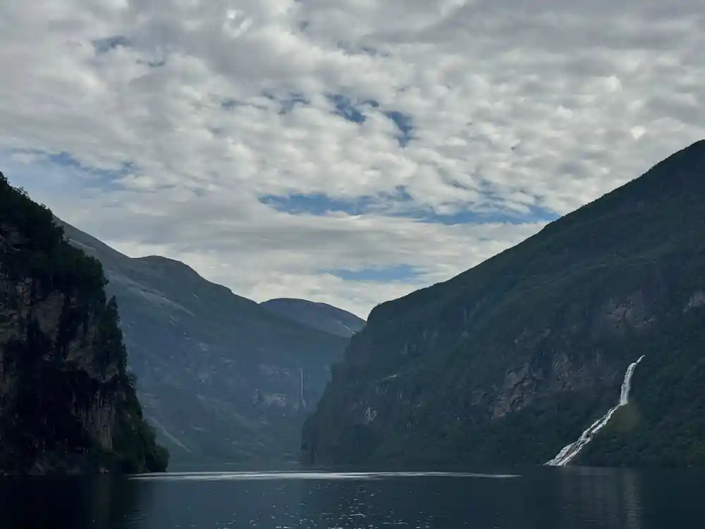
Åkerneset is not a peak you will pick out from the deck. It is a shoulder of rock on the north side of the Sunnylvsfjord, the long arm of water that leads into the Geirangerfjord, and at first glance it looks like any other steep, green-brown slope in this part of Norway. What makes it different is a fracture that runs across its upper face, a split that separates a large block of rock from the mountain behind it. Seen from a helicopter or on a satellite image, the line reads as a scar across the hillside. From the water, you would sail straight past it without knowing it was there.
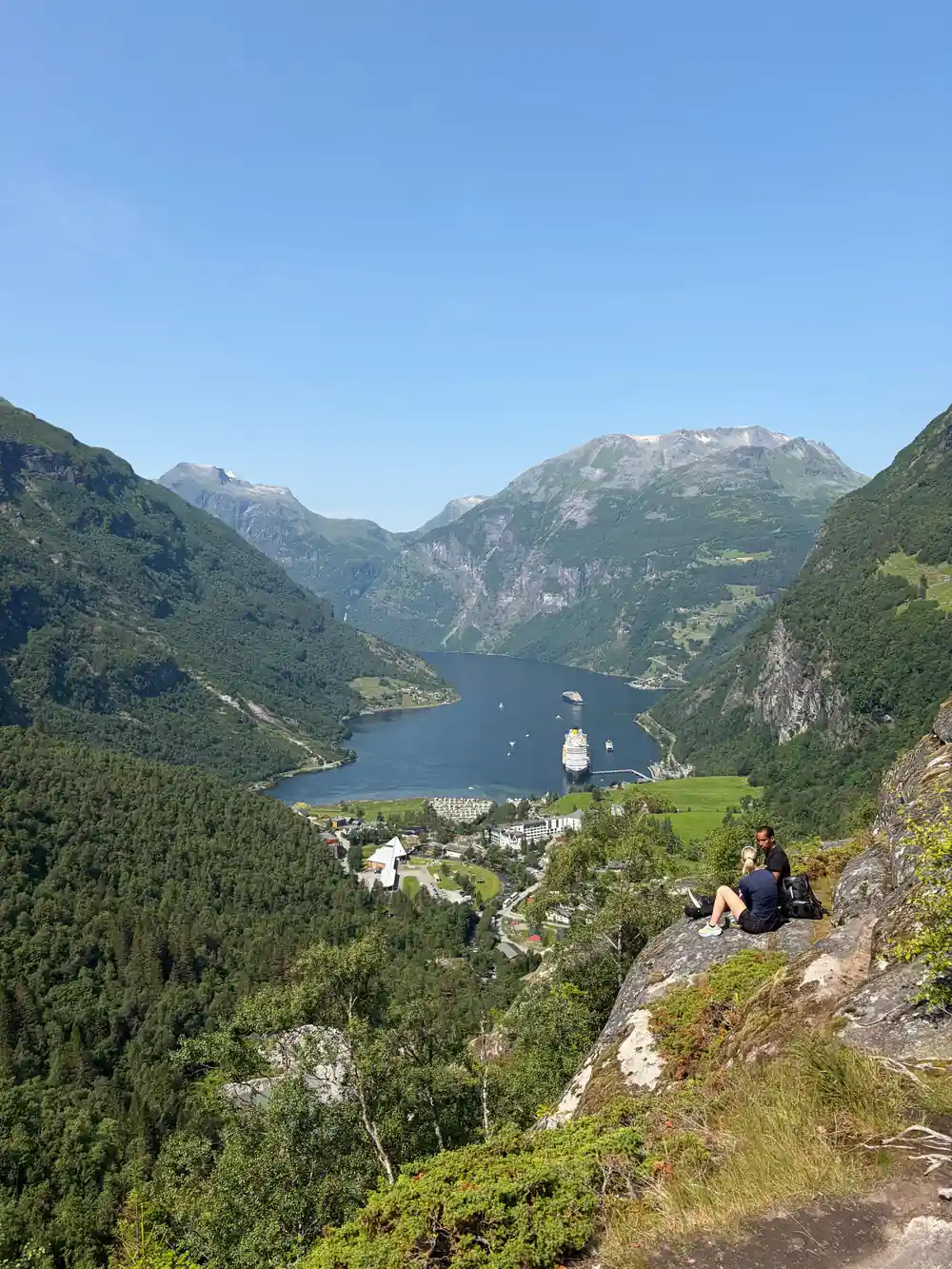
The fjord below is deep, the walls are steep, and there is very little room for water to go anywhere except along the channel. That is what makes a Geiranger mountain crack of this size worth studying. Rock that falls into a narrow fjord does not simply sink and settle. It pushes water outwards and upwards, and that displaced water has to travel somewhere, often faster than anyone on the shore can walk. The people who work on the slope are not guessing about any of this. They have measured the mountain, they have built models of the fjord, and they keep watching.
How the mountain is watched
Monitoring a slope like this is a mix of old and new tools. Instruments sit on and around the fracture and record tiny movements, some of them far too small for a person to feel. Radar and laser systems on the far side of the water track the surface of the rock without ever touching it. Satellite radar picks up slow changes across the whole mountainside, the kind of creep that nobody would notice by eye. Together the instruments build a picture that is updated constantly, and the people reading the data look for changes in the pattern rather than for one dramatic reading.
The point of all that watching is time. If a slope begins to move faster, there is a window in which warnings can be issued and people can be moved out of the way. The villages and farms around the fjord have plans for that, worked out with the authorities and practised, and the plans are revised as the measurements change. Guides and boat crews are part of the same chain, since they are the people closest to the water on any given afternoon. It is a system built for the ordinary days when nothing happens at all, and for the one day when something does.
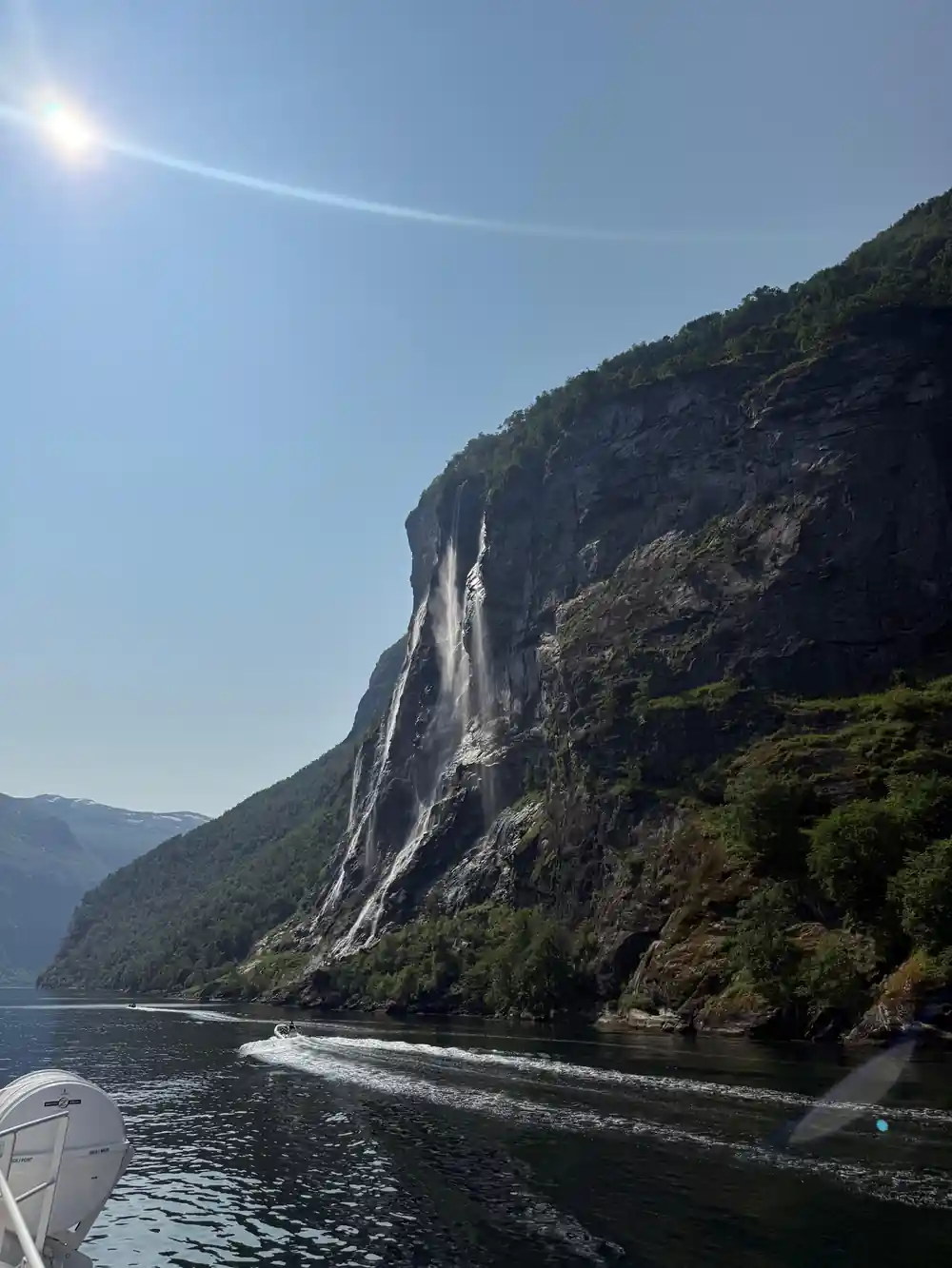
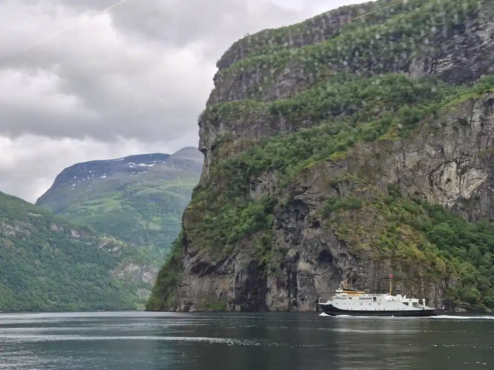
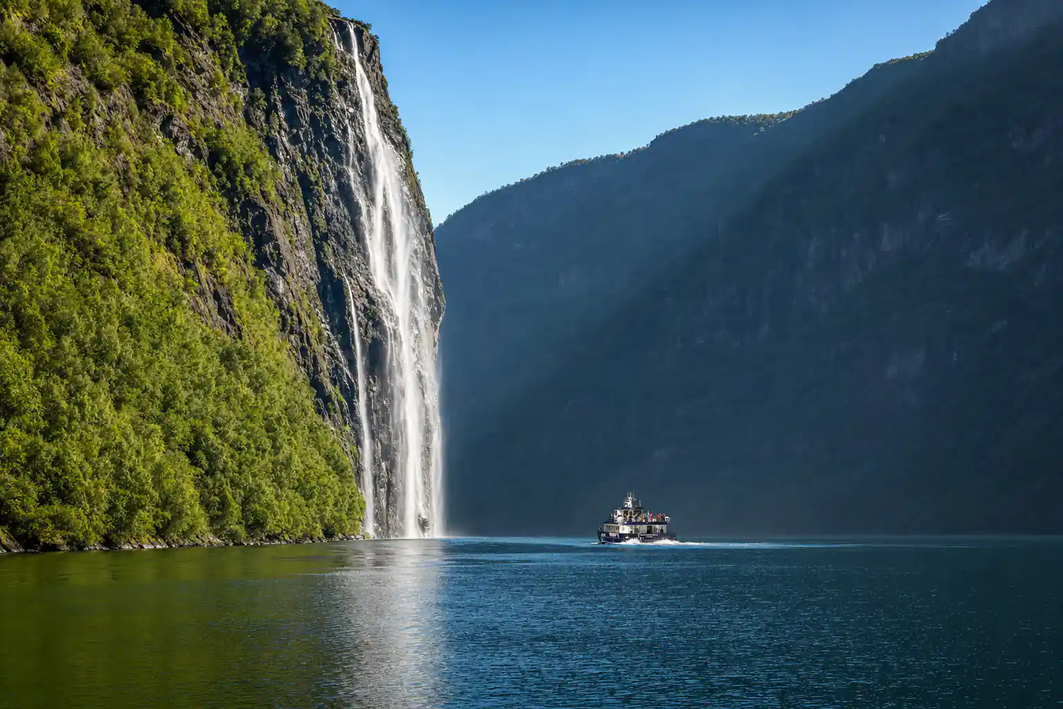
Waterfalls, cliff walls and very deep water on the way to Geiranger.
What a wave would do
A rockslide into a fjord behaves differently from a wave on the open sea. The water is confined, the sides are close, and the energy has to go somewhere. In a narrow arm, a wave can run up the far shore, reflect, and keep travelling along the channel, losing height as it spreads but still arriving with force. Modelled scenarios for the Geirangerfjord and the Sunnylvsfjord map out how far that water could reach and which ground sits above the line. Those maps are used for planning: where a new building can go, which fields are safe in summer, and which routes people would take if they ever had to leave in a hurry.
For a visitor, the maps are not a warning about your holiday. The slope has been sitting there for a very long time, and the fjord has been busy with ferries, fishing boats and cruise ships for generations. What the modelling gives the region is a way to keep living and working in a landscape that is dramatic precisely because of the forces that made it. You will come across the subject in local news and in displays at the visitor centre in Geiranger, and then you will go back to watching the waterfall and eating your lunch like everybody else.
Tafjord, and the memory of a wave
Tafjord, a neighbouring arm of water on this coast, is the name that comes up whenever people here talk about waves. A rock slope above that fjord came down, water swept through the settlements below, and the event is still told in the region as a lesson rather than a legend. There is no date circled on a calendar; there is a habit of taking the ground seriously. Older families remember it as part of their own history, and the engineers who watch Åkerneset work in its shadow.
What came out of that event, and out of the longer record of slides in western Norway, is a set of habits. Build above the reach of a wave where you can. Keep the warning chain short and the message simple. Rehearse moving people, and make sure that the people who need help getting up a hillside get it. When you sail past a small church or a cluster of farm buildings on a shelf of green above the water, you are looking at decisions made over generations about where it is safe to put a house.
from US$202
The Ålesund to Geirangerfjord round trip on a hybrid electric boat runs 8.5 to 9.5 hours and is rated 4.75 from 758 reviews.[1]
Living and farming under the slope
The farms on the slopes around Geiranger are working places, not museum pieces. Sheep and goats graze the upper fields in summer, hay is cut on the lower ones, and the old summer farms up the valley are still used by families who have held the land for a long time. The West Norwegian Fjords, which include the Geirangerfjord, were inscribed on the World Heritage List in 2005, and that status covers both the water and the way people have used the ground around it.[6]
The fjord is also a busy waterway. Ålesund recorded 290 cruise arrivals in 2024, and the cruise dock there is a 2 minute walk from the city streets.[7][8] Ferries and excursion boats run up the fjord all season, and the small communities along the water depend on that traffic. If you arrive by ship, you are part of it. The mountain above is watched with the same care on a quiet weekday as on a bright weekend at the height of summer.
Rockslides that shaped the fjord
The Geirangerfjord is not a tidy channel. It was carved by ice, then reshaped by everything that has fallen into it since. Look at the lower slopes and you will see fans of loose rock spreading out beneath the gullies, tongues of debris that reached the water, and small shelves of flat ground where a slide once blocked a stream. Some of the tarns up on the mountain plateaus are held back by nothing more than a wall of rockslide debris, and the shape of the shoreline is a record of old collapses.
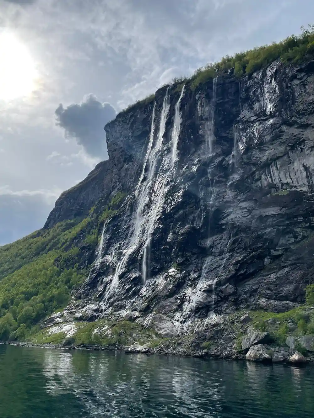
The waterfalls everyone photographs belong to the same story. The Seven Sisters is 410 meters tall in total, and the highest of its seven streams has a free fall of 250 meters.[9] The West Norwegian Fjords, Geirangerfjord among them, were inscribed on the World Heritage List in 2005.[6] From Ålesund, Geiranger is 67 miles (108 km) away by the usual route.[10] By boat that is a comfortable day out. By road it is a slow, spectacular drive with ferries in the middle of it.
Seeing the slope from the water
The easiest way to take in this landscape is the round trip from Ålesund, which runs 8.5 to 9.5 hours and is listed from US$202.[1] The boat is a hybrid electric vessel, wheelchair accessible, with an audio guide in Danish, English, French, German, Italian, Japanese, Korean, Norwegian and Spanish.[1] The route runs out through the Storfjorden and the Sunnylvsfjorden, into the Geirangerfjord past the Seven Sisters waterfall and the Friaren falls, then on to the village of Geiranger before returning the same way. It carries a 4.75 rating from 758 reviews.[1]
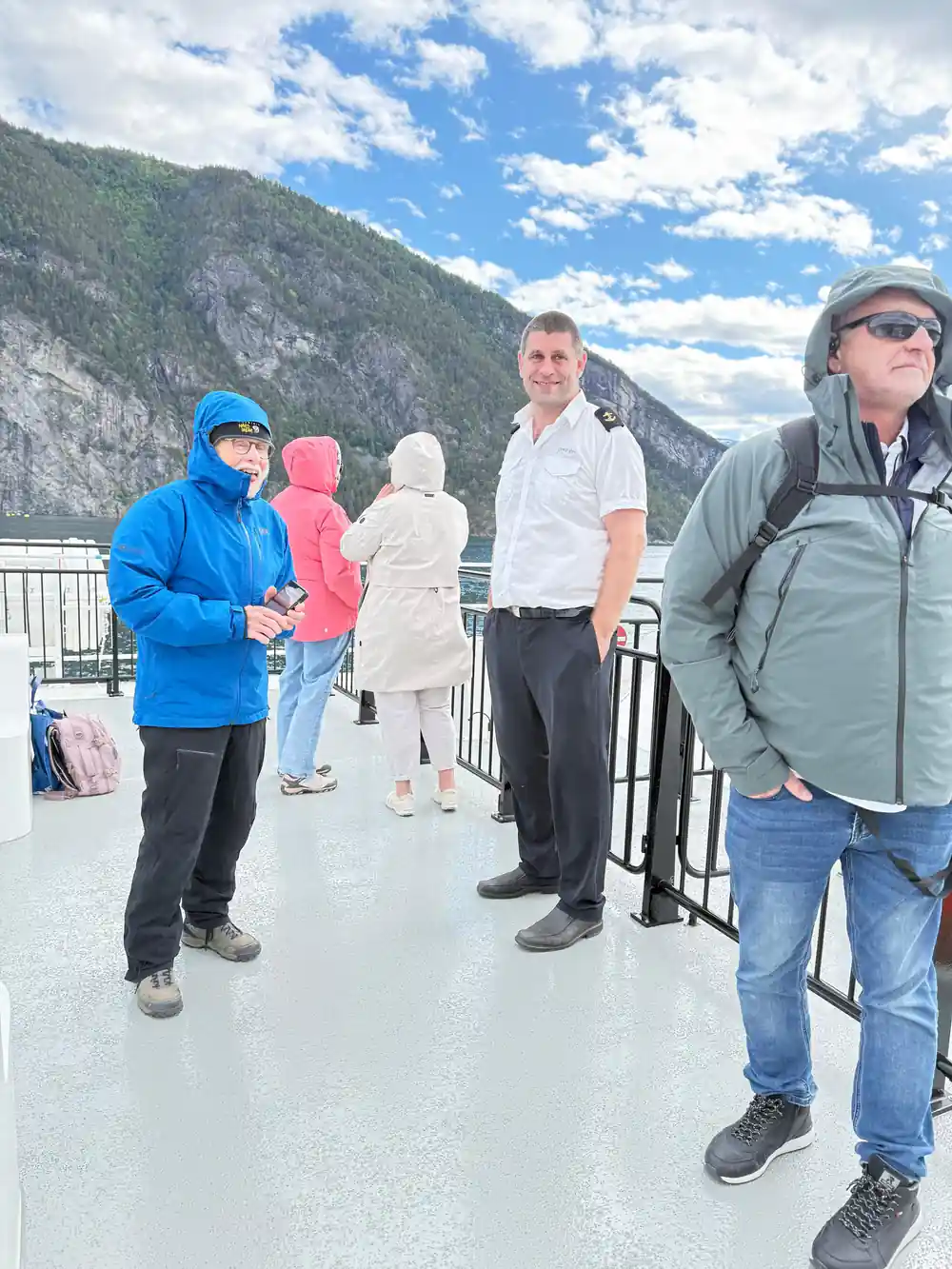
Pack for a long day on the water. Ålesund averages 2.8 °C in February and 14.8 °C in August; there is a world of difference between a winter sailing and a summer one.[2] Even in the warmest month the air on deck feels cooler than the town, and the shade of the cliffs and the spray off the bow do the rest. A windproof layer, a hat and something to keep your camera dry will earn their place in your bag. Then find a spot at the rail, watch the north wall slide past, and remember that the crack is up there somewhere, quiet and patient, above the water.
From-prices for fjord cruises from Ålesund
From-prices in US dollars as listed for each tour:[1][3][11]
Fjord cruises from Ålesund, from-prices in US dollars
From-prices in US dollars for these listings:[1][3][11][12]
When to sail the fjord
How to see the slope
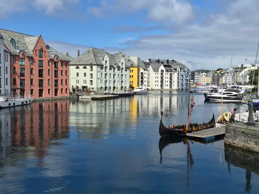
Start in Ålesund
Board in the town centre, within a 2 minute walk of the cruise dock.[8]
Sail out through the islands
The route leaves the sheltered water around Ålesund and turns into the Storfjorden, the wide channel that runs south.
Look at the north wall
Åkerneset stands above the Sunnylvsfjord on the northern side. Watch for the long, even slope above the water.
Pass the Seven Sisters
Seven streams fall into the fjord side by side, with a total height of 410 meters.[9]
Turn round at Geiranger
The boat reaches the village at the head of the fjord before heading back the same way to Ålesund.
See the fjord, the waterfalls and the watched slope in one day
from US$202Reserve now & pay later