The quick version
- The West Norwegian Fjords, Geirangerfjord and Nærøyfjord, joined the World Heritage List in 2005.[1]
- The fjord sits 67 miles (108 km) from Ålesund, and the round trip by hybrid electric boat takes 8.5 to 9.5 hours.[2][3]
- The Seven Sisters is 410 meters tall in total, with the highest of the seven streams falling 250 meters in free fall.[4]
- The Geiranger-Trollstigen scenic route is always closed in winter and normally open from mid-May to October/November.[5]
- The Ålesund to Geirangerfjord round trip by hybrid electric boat is rated 4.75 from 758 reviews.[3]
- Top choice Geirangerfjord round trip from US$202 Duration8.5 to 9.5 hours[3]Rating4.75 from 758 reviews[3]GuideAudio guide included[3]RouteBoat out and backCancellationFree cancellation up to 24 hours[3] Check availability
- Winter fjord cruise from US$325 Duration9 hours[6]Rating4.76 from 105 reviews[6]GuideLive guide and audio guide[6]RouteWinter cruise on the fjordCancellationFree cancellation up to 24 hours[6] See this tour
- Geiranger boat and bus from US$210 Duration10.5 hours[7]Rating4.60 from 140 reviews[7]GuideHost or greeter: English[7]RouteBoat out, coach backCancellationFree cancellation up to 24 hours[7] See this tour
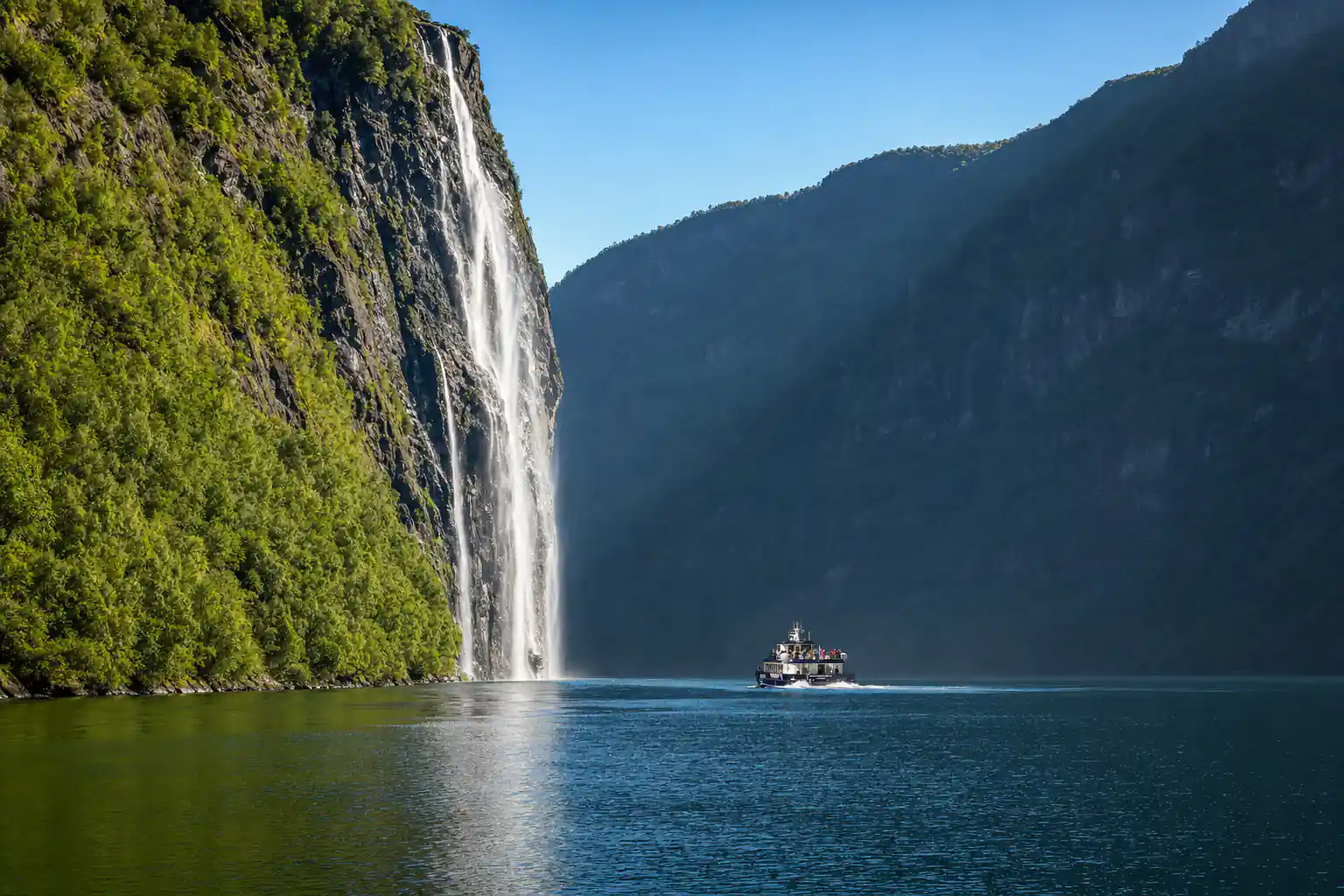
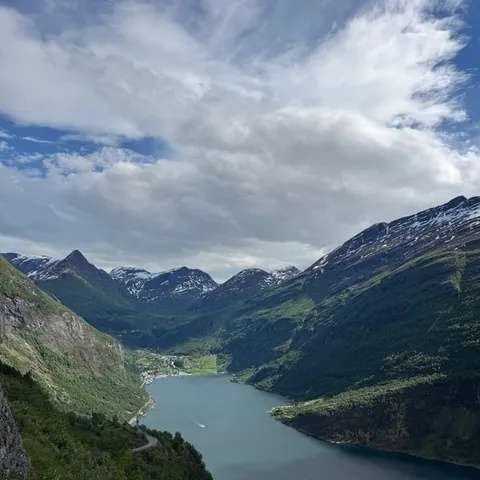
The Norwegian Scenic Route Geiranger - Trollstigen is always closed in winter and normally open from mid-May to October/November, depending on when winter returns.
Should you sail Geirangerfjord from Ålesund?
Getting there and back
Why Geirangerfjord Is on the UNESCO List
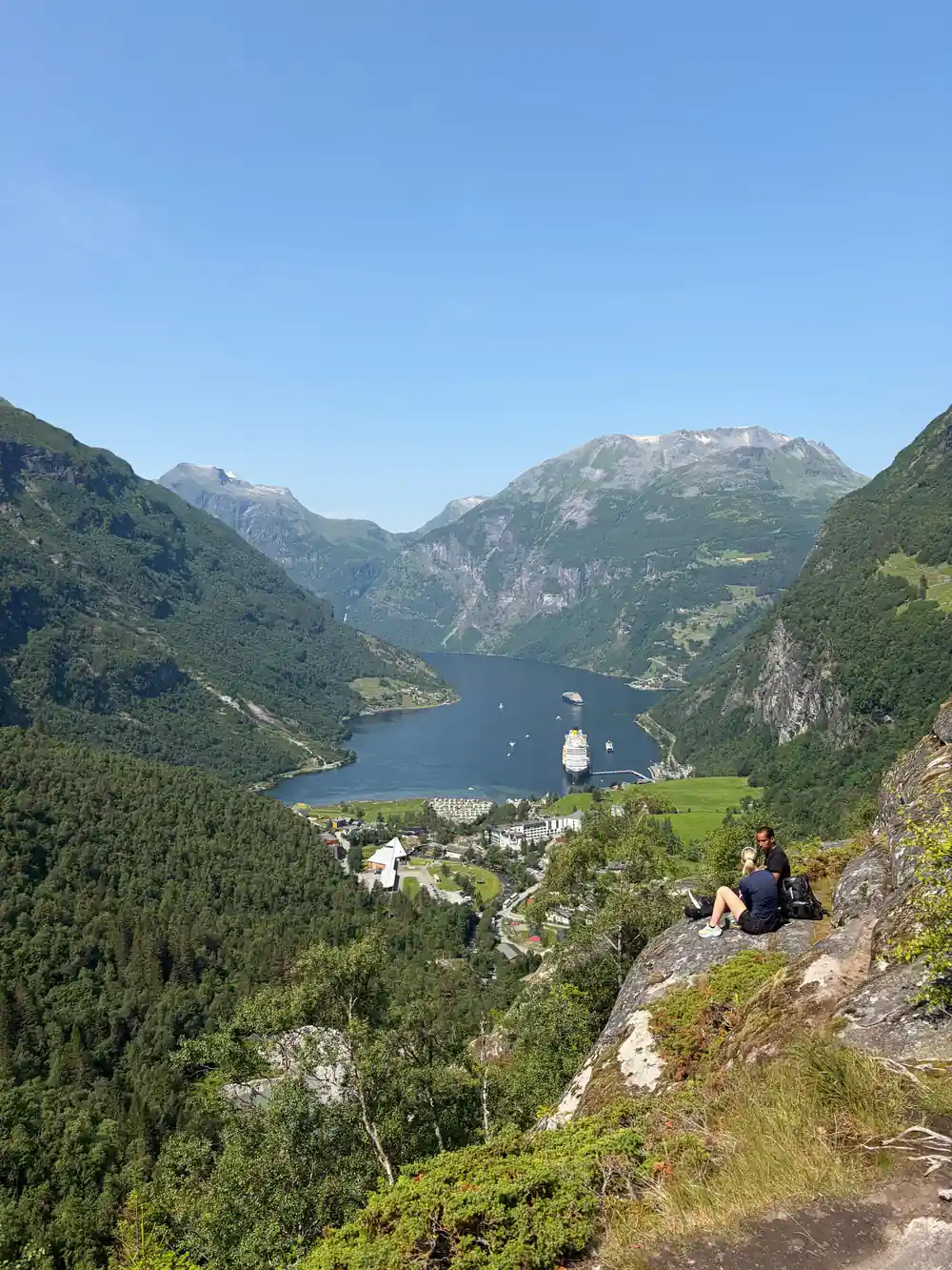
Geirangerfjord is not a pretty place that someone decided to protect. It is part of a single World Heritage property, the West Norwegian Fjords, inscribed on the World Heritage List in 2005, and it shares that listing with Nærøyfjord far to the south.[1] The Geiranger UNESCO World Heritage inscription covers the fjord landscape itself: the sheer walls, the deep water, the farms that cling to the ledges, and the valleys that feed down into it. Nobody built anything here to earn the status. The rock, the ice and the water did all the work.
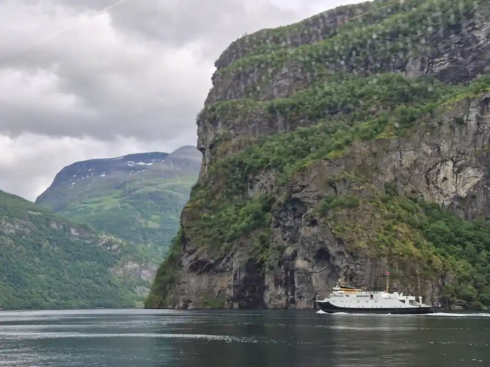
What the listing does not do is put a fence around the fjord. This is a working landscape, with ferries, fishing boats, cruise ships and kayaks sharing the same water, and the villages along the shore are places where people live and work all year round. You travel through the property rather than around it. From the deck, the scale of the walls, the height of the waterfalls and the way light moves across the slopes all make sense in a way a photograph rarely manages, and the boat carries you past all of it without a single step of climbing.
How Glaciers Carved the Geirangerfjord Trench
The fjord began as a river valley. Through repeated ice ages, glaciers grew along it, thickened, and ground downwards, and when the ice finally melted away the sea moved in behind it. What is left is a trough with a U-shaped cross section, shoulders high above the water and a floor far below it. The valley that continues inland past Geiranger has the same profile, and the smaller side valleys that hang above the main fjord share it too. Where a tributary glacier once joined the main stream, you now see a hanging valley with a river or a waterfall dropping out of it into the fjord.
People ask how deep Geirangerfjord is, and the shape of the walls answers part of the question. The ice cut downwards as well as sideways, so the sides drop away steeply instead of sloping into a gentle V. From a boat you can trace the line of that old glacier valley for hours, and the hanging valleys above show where smaller arms of ice once joined in. None of this needs a diagram. The rock is scratched, smoothed and steepened, and the water simply fills the space the ice left behind. Once you have seen it, other valleys look different.
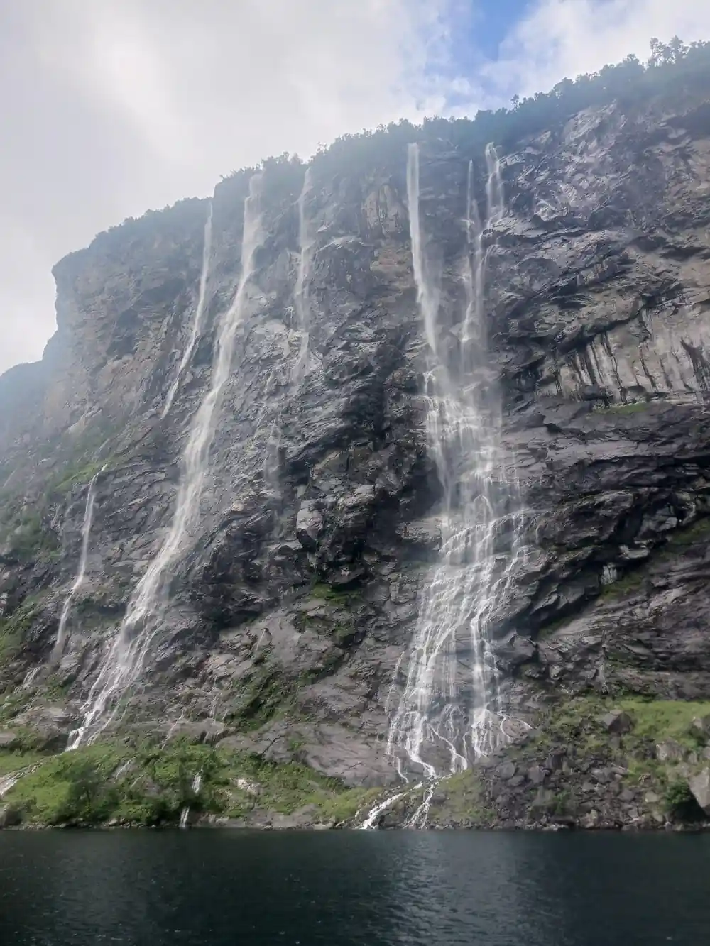
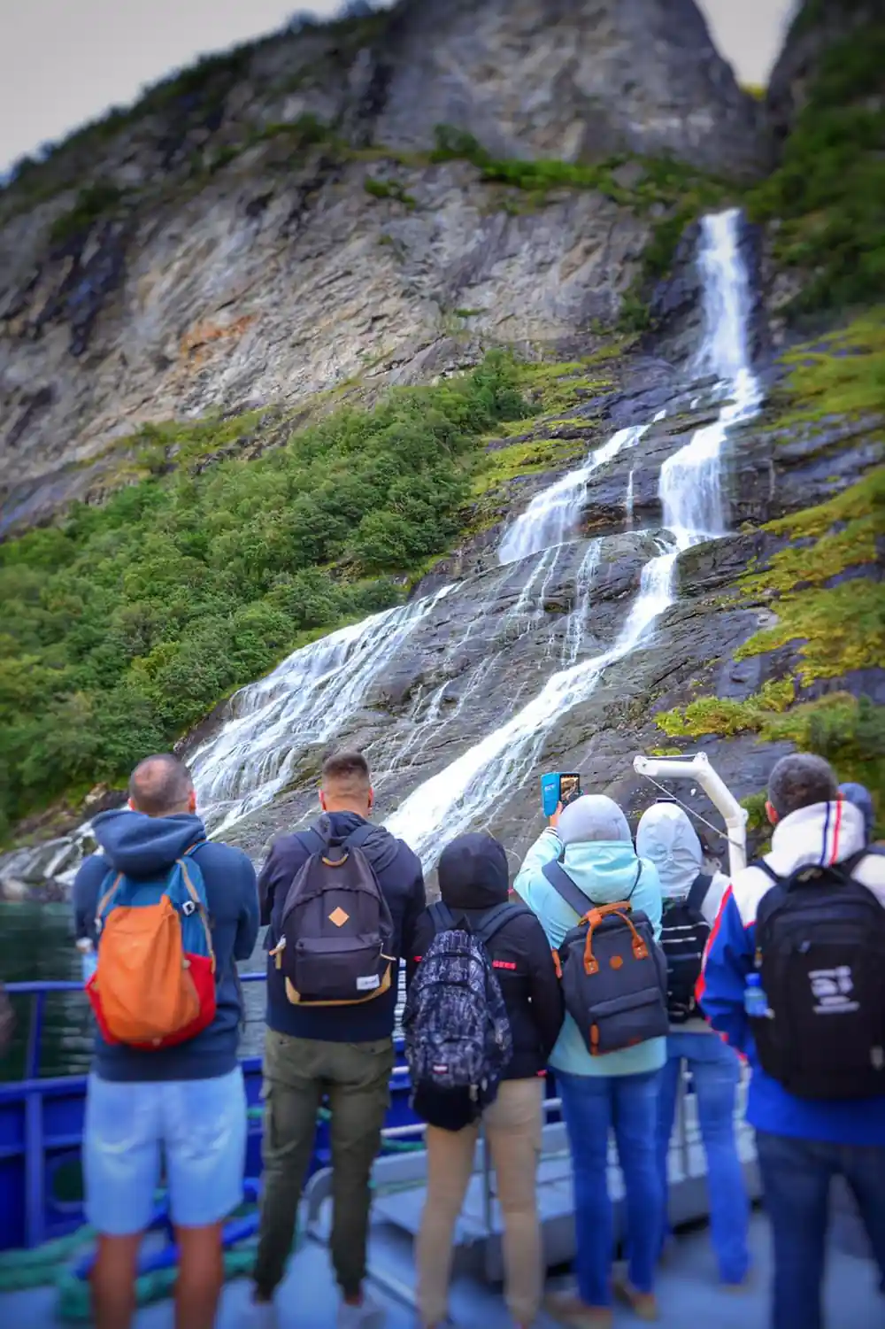
Waterfalls drop in thin streams from the cliffs above the boat
The Seven Sisters and Friaren Waterfalls
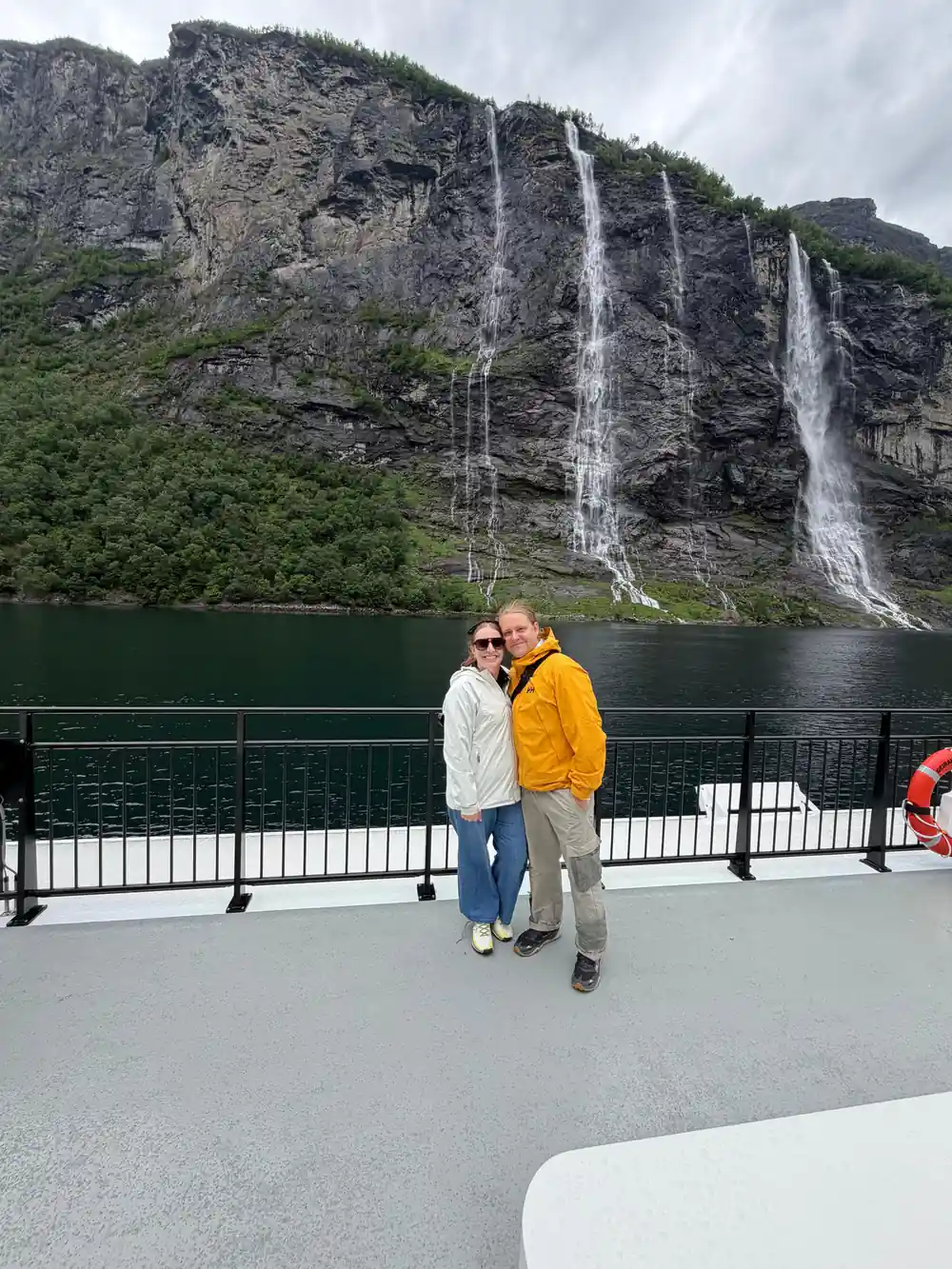
The Geiranger waterfalls most people come for sit on the same stretch of cliff. The Seven Sisters is 410 meters tall in total, and the highest of the seven streams has a free fall of 250 meters.[4] The streams spread out as they fall, so what you actually see depends on meltwater and wind. On a still morning they drop in neat parallel lines. In a gust they scatter into mist long before they reach the fjord, and the cliff behind them disappears into the spray.
Across the water, a waterfall called Friaren, the suitor, faces the sisters, and the two names belong to one old story about a hopeful wooer and seven sisters who never answered him. The round trip from Ålesund passes both of them.[3] Volume is seasonal here. After snowmelt and heavy rain the falls are at their loudest and spray reaches the deck. In a dry late summer they can thin to a thread, and the height of the cliff is what stays with you.
Why the Water Looks Milky Blue-Green
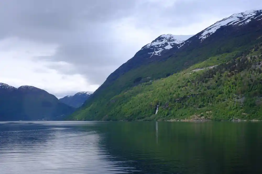
Glacier meltwater carries rock flour, the fine silt ground off the bedrock by ice. Those particles are small enough to stay suspended for a long time, and they scatter light in a way that turns clear water into milk, sometimes pale grey and sometimes a green so bright it looks artificial. Fjord water is also layered, with a lighter layer of fresh meltwater floating above the heavier salt water below, so the colour can change from one side of the boat to the other.
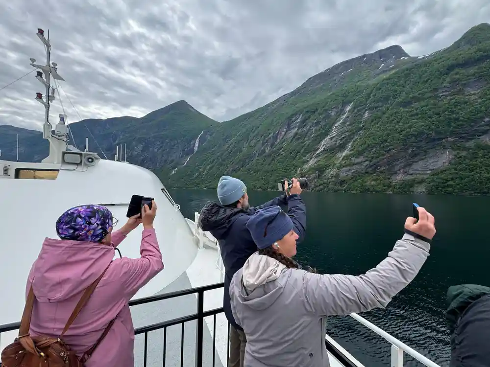
The strongest colour usually appears close to river mouths where meltwater enters, and in the calm, deep inner reaches where the surface is least disturbed. Photographing it is easiest on an overcast day, when the light is even and the water reads as one colour instead of a sheet of glare. Polarising sunglasses help more than any filter, and a phone held low over the rail works well when the boat is moving slowly. Look down rather than out when you want the colour, and out rather than down when you want the cliffs.
from US$202
The hybrid electric boat round trip from Ålesund to Geirangerfjord is listed at 8.5 to 9.5 hours, with an audio guide included.[3]
Storfjorden, the Route In and Out of Geiranger
From Ålesund the fjord day runs south and then east. The distance from Ålesund to Geiranger is 67 miles (108 km)[2] along the route, and the round trip is listed as 8.5 to 9.5 hours.[3] The boat works through Storfjorden, then Sunnylvsfjorden, then the Geirangerfjord itself, passing the Seven Sisters, Friaren and the village of Geiranger before turning round and repeating the whole run in reverse.[3] Each arm has its own character, and the inner fjord feels narrower and steeper than the wide water you start on.
The other way to see the fjord is from the road. The Norwegian Scenic Route Geiranger-Trollstigen is always closed in winter and normally open from mid-May to October/November, depending on when winter returns.[5] That route gives you the viewpoints high above the water, which is a completely different fjord from the one you see from a deck. If your day in port is short, pick one: the boat for the fjord at water level, the road for the heights. Doing both in a single day means a lot of sitting still.
If you would rather not think about timetables at all, the hybrid electric boat does the planning for you. It runs the length of the fjord and brings you back to the same town, with an audio guide included and wheelchair access on board.[3] Book ahead in summer, keep an eye on the weather, and let the fjord come to you.
Wildlife, Seals and Seabirds on the Fjord
The fjord is salt water all the way in, so the wildlife is marine. You may see harbour porpoise breaking the surface, seals hauled out on low rocks, white-tailed eagles working the cliffs and a long cast of gulls, terns and cormorants. Nothing is guaranteed on any single day, and the animals do not perform on schedule. Treat a sighting as a bonus while the landscape does the main work, and keep half an eye on the water when the boat is in the calm inner stretches.
If seabirds are your thing, the cliffs at Runde are a different trip and a remarkable one: between April and August, more than 30,000 puffins come to the cliffs there to breed.[11] On the fjord itself, watch the water in the calm inner stretches, where a ripple that keeps moving across an otherwise flat surface is usually an animal rather than the wind. Binoculars earn their space in a day pack here, and a camera with a decent zoom does more for you than a wide lens.
Åkerneset and the Watch on the Mountainside
Above Sunnylvsfjorden, a long fissure has been opening in the flank of Åkerneset for a very long time. If a large volume of rock slid into deep water, it could send a wave through the inner fjord, so the mountainside is measured, watched and taken seriously rather than ignored. It is a story told in geological time rather than a forecast for your holiday. From the deck you will not see anything dramatic happen, and that is exactly the point of the watching.
What you can see is the shape of the problem. The inner walls are steep, with fresh rock faces and slopes built from the debris of older slides, and the villages along the fjord stand on ground that ice and water have rearranged before. Knowing that makes the calm surface of the fjord feel less empty than it looks, and it is a good reason to listen to the audio guide rather than stay on your phone the whole way.
From-prices for fjord tours that leave Ålesund
From-prices in US dollars as listed for each tour:[3][6][7][12]
What a fjord day costs from Ålesund
From-prices per tour listing, in US dollars:[3][6][7][12]
Seasons for the fjord and the coast
Planning the fjord day
Reserve before you sail
Summer departures fill up when several ships are in port, so reserve a seat early and keep the free cancellation in mind.[3]
Pick your boat
The hybrid electric round trip runs 8.5 to 9.5 hours and is wheelchair accessible, with an audio guide included.[3]
Dress for the deck
Deck time is the whole point, so bring a windproof layer, a hat and gloves even in summer, plus sunglasses for the glare.
Charge your camera
Waterfalls, cliffs and milky water eat battery, especially in cold air. A power bank and a dry bag earn their space in a day pack.
Keep the evening free
Cruise ships dock about a 2 minute walk from the city centre, so getting back on board after the boat is quick.[9]
Sail the Geirangerfjord on a quiet hybrid electric boat
from US$202Reserve now & pay later